An itching to go outside, but don't know where to head? Try these local favorites.
Outing Club Local Trail Ideas
Skip to Main ContentLess than Two Hours...
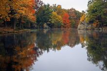
Puffer's Pond

Puffer's Pond is a popular destination near Amherst. Swimming is allowed in the fall and spring. 10 minute drive
Directions to Puffer's Pond in Amherst:
- head North on Pleasant Street (towards Antonio's)
- drive through town, and keep going straight until Pleasant Street ends at a stop sign (2.75 miles)
- at the stop sign, make a left onto Pine Street and then an immediate right onto Sand Hill Road
- at the first 4-way intersection on Sand Hill Road, make a right turn
- the parking lot for the South shore of Puffer's Pond is in 1/4 mile
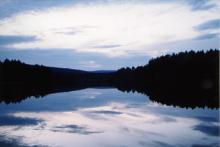
Quabbin Reservoir

The Quabbin is one of the most wild places in Western Massachussets, but it's also one of the most artificial. Created in the 1930s as a water supply for Metropolitan Boston, it was formed by damming the Swift River and flooding five towns. Today it is a protected reserve, with lots of hiking trails and nice beaches. Swimming, camping, fires and pets are prohibited, and can carry a hefty fine. Two good hikes are noted in the directions. 20 minute drive
Directions to the Quabbin Reservoir in Belchertown:
- head East on Route 9 under the bridge towards Pelham
- continue on Route 9 for about 12.5 miles until you see a large sign on the left for the Quabbin Reservoir
- turn left to the MDC headquarters
- after you cross Winsor Dam, make the next left along the spillway. This road eventually winds by the Goodnough Dike, around the spillway, through the rotary, to an intersection (2.25 miles from Route 9)
- turning right at this intersection brings you up a hill to a parking lot and an observation tower with great views of the reservoir
- (alternate hike) instead of turning at the intersection, continue about half a mile to a small parking area and picnic site on the left. This area is close to the water, and the starting point for great short rock beach walks
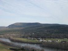
Guru's Waterfall and Mount Toby

This hike is as long as you make it. The shortest version is less than a mile walk along mostly flat terrain. This part takes you across a set of train tracks that leads to a babbling brook and a cascading waterfall. 20 minute round trip
Continuing up and northwest from the brook, the trail eventually reaches an old fire road which continues to the top of Mount Toby. This hike is longer, and involves some route-finding guesswork. At the top of Mount Toby is an old fire tower. 2 hour round trip
Directions to Guru's Waterfall and Mount Toby in Sunderland:
- head North on Pleasant Street (towards Antonio's)
- drive through town, and keep going straight until Pleasant Street ends at a stop sign
- at the stop sign, make a left onto Pine Street and then an immediate right onto Sand Hill Road. It will merge with Pulpit Hill Road heading West
- when Pulpit Hill Road ends at a stop sign, turn right onto Route 63
- drive on Route 63 for 5.3 miles
- turn left into a parking lot with a sign that says "Guru Ramdas Ashram". Make sure to pay the $1 parking fee. The trail begins to the North of the parking lot